Hunter Aerial Photography Services utilises both manned (aircraft with a pilot) and unmanned aerial vehicles (drones) to capture a series of vertical images. Using industry standard software systems the images are combined and post processed to produce value added outputs including:
Orthorectified mosaic
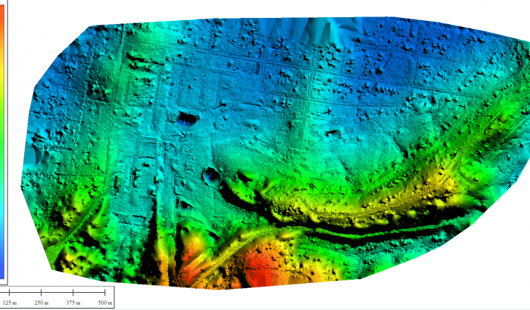
Digital surface model
Digital terrain model
Points cloud 3D models
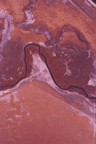
NDVI Maps
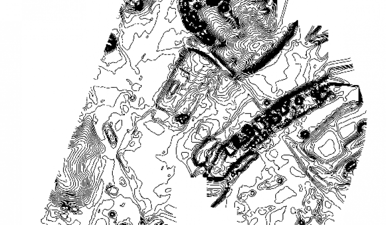
Contour Maps
Advantages
Utilising both manned aircraft and drones for our operations, we are able to tailor solutions for our clients. Key advantages we can offer include:
survey sites using either manned or drone aircraft – we tailor the aerial platform to suit your needs and budget
using high capacity digital full frame cameras and lenses
rapid transfer to other sites on the same trip
limited to no restrictions on flight areas for manned aircraft operations
quick mobilisation to survey small and large areas
ability to carry multiple sensors on the one aerial platform (both manned aircraft and drone operations)
These aspects are the building blocks for a safe, quality and cost effective outcome for clients who have a requirement to acquire aerial imagery and data.
Typical Outputs of Vertical Survey
The following images are typical out puts from the vertical mapping systems we operate from both manned and unmanned aircraft platforms:
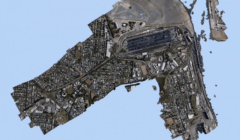
Point Cloud 3D Model - Port Waratah Rail Newcastle
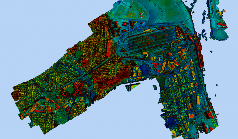
Point Cloud 3D Model - Height Colourised - Port Waratah Rail Newcastle
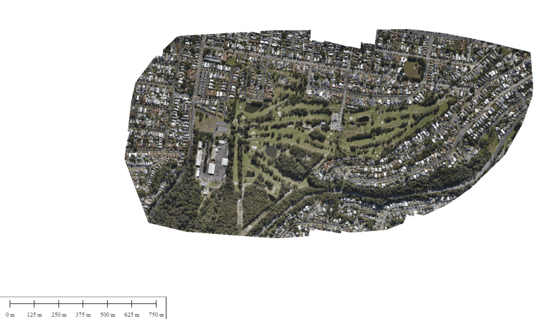
Orthomosaic – Merewether Golf Club Newcastle
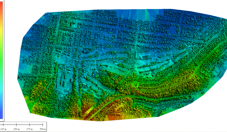
Digital Surface Model - Merewether Golf Club, Newcastle
Digital Terrain Model – Merewether Golf Club, Newcastle
Sandgate area Newcastle – 0.5m contour map
Sample Volumetric Calculation - Port Waratah Newcastle
Vegetation Mapping
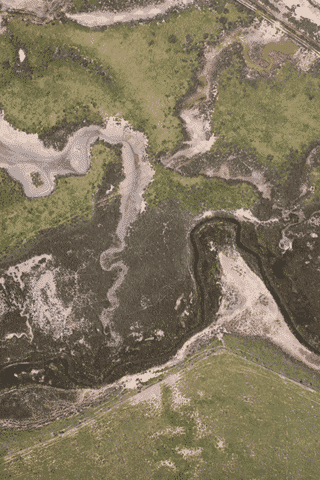
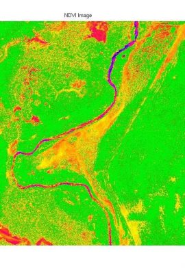
Apart from acquiring normal photo images (RGB) we can also capture similar images using modified cameras that can detect vegetation on the earth’s surface and provide data on its density and health. Images are captured and processed to produce a Normalized Difference Vegetation Index. The Normalized Difference Vegetation Index (NDVI) is a numerical indicator that uses the visible and near-infrared bands of the electromagnetic spectrum and is adopted to analyse remote sensing measurements and assess whether the target being observed contains live green vegetation or not.
We use the same industry standard software systems to process the Near Infra red images taken to produce the NDVI maps.
The following images are typical out puts from the vertical mapping system we operate: